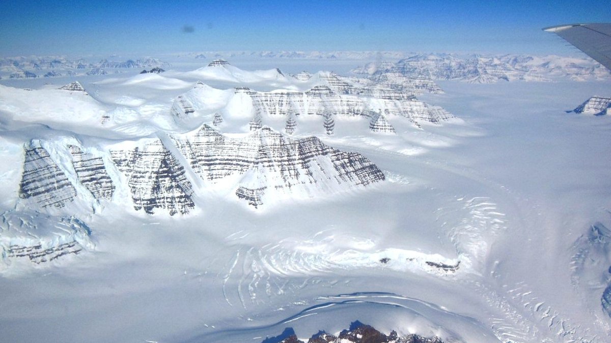
Tech teams are racing to safeguard the Arctic’s frozen carbon stores while deploying playful AI agents to monitor fire risk and permafrost thaw. A 2021 wildfire on the University of Alaska, Fairbanks campus sparked a new partnership that blends satellite data, ground sensors, and autonomous drones.
Key Technical Moves
- Satellite imagery now feeds real‑time heat‑map overlays to a cloud‑based AI platform.
- Autonomous drones equipped with thermal cameras patrol high‑risk zones 24/7.
- AI agents simulate fire spread scenarios to guide firefighting resource allocation.
- University of Alaska researchers validate models against on‑ground temperature logs.
- Funding from the National Science Foundation supports the pilot program.
From Fire to Forecast: The Permafrost Story
Permafrost holds roughly 1,500 Gt of carbon, and thawing releases methane, a potent greenhouse gas. The 2021 blaze highlighted how quickly fire can ignite in thawed soils, prompting a shift from reactive suppression to predictive monitoring. The partnership leverages decades of Arctic research, combining climatology, remote sensing, and machine learning to create a holistic surveillance network.
What Comes Next for Climate‑AI Governance
Success in this pilot could set a precedent for AI‑driven environmental policy, prompting regulators to craft guidelines on data sharing, algorithm transparency, and public accountability. If scalable, the model may inform national carbon‑budget strategies and spur investment in AI safety frameworks that balance rapid deployment with ethical oversight.